
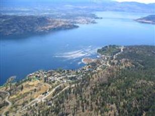
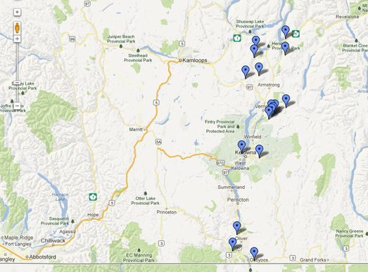
Sites
|
The club motto is "More sites than pilots". This is the beauty of the Okanagan for free flyers. Use the map tool link below to check out our sites. Be sure to contact local pilots first to find the most current status of each site.
|
|
Airspace Tool
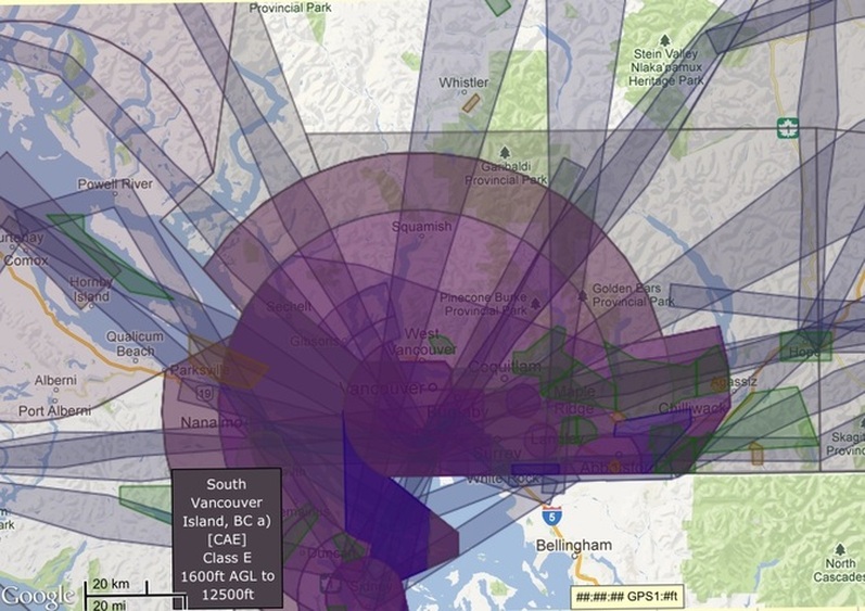
Example image of New Airspace Tool
Peter Spear, a local Vancouver PG pilot, has designed a software program that incorporates all the Canadian airspace in a graphical interface, which is much easier to deal with vs. a paper map to figure out where the boundaries are.
The website is here:
http://www3.telus.net/cschwab/viewer/check_airspace.html
and
http://www3.telus.net/cschwab/viewer/canadian_airspace.html
if you wish to filter out types of airspace (much easier to figure out)
You can zoom in and hover to see where the various airspaces are, and can switch from map to satellite view. If you hover over Mt. Washington you'll get class D. And if you double click you'll get additional info (eg. if transponders required etc). You can also upload igc files to see if pilots busted any airspace...
We've found Peter's program to be very accurate as it uses data directly from the
Designated Airspace Handbook
or refer to this very simplified discussion:
How To Identify Airspace Class
